North-Eastern CAR
Halting the progressive loss of the natural heritage of north-eastern CAR by promoting knowledge-sharing and pulling together the experiences of national and regional actors


ECOFAUNE operates in the north-east of the Central African Republic, a vast area of 250,000 km² covering the prefectures of Bamingui-Bangoran and Vakaga.
Of this area, 86,000 km² are designated for conservation, hunting and economic use of natural resources.
Designated areas include Bamingui-Bangoran National Park and Manovo Gounda Saint Floris National Park, the latter a World Heritage site since 1988 and on the list of sites in danger since 1997.
The project is currently protecting a core area of 8,850 km².

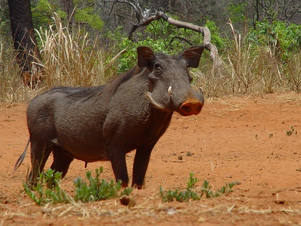
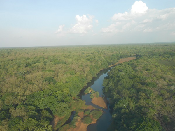
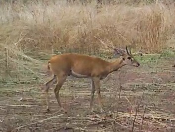
The main ecological interest of this region lies in the fact that it forms a transitional area between the Sahelian regions and the humid equatorial regions on one hand, and between the western and eastern natural areas on the other. Among the mammals of the northern region, it is possible to see, for example, red-fronted gazelles (Sahelian species) and red-tailed monkeys (dense wet forest species), red-flanked duikers (a mostly western species) and guereza monkeys (a mostly eastern species).
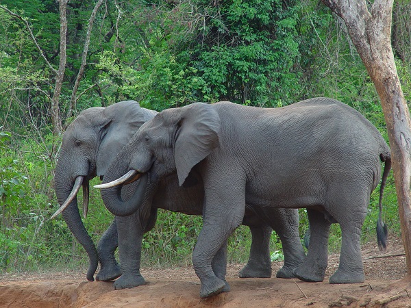
In addition to species found in various regions of Africa, such as lion, buffalo and elephant, there are some species with reduced distribution, such as the rare Kordofan giraffe and Derby’s Eland (also known as the Giant Eland).
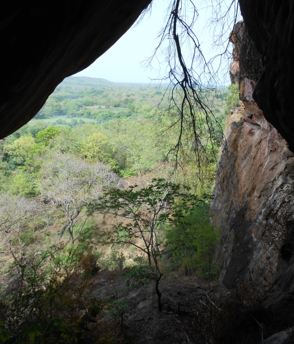
The CAR forms a backbone separating the Lake Chad basin from the Congo basin. The altitude of 3/4 of the country is between 400 and 800m above sea-level.
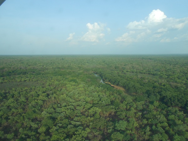
For the development and composition of the vegetation, rainfall is the most important climatic factor, both in terms of annual volume and its distribution during the year. North CAR remains an area of rich pastures, attracting a growing number of cattle.
The prefectures of Vakaga, Bamingui-Bangoran and Nana-Gribizi together contribute between 15.3 and 18.2% to the water supply of Lake Chad (source: Anon 2003, Odada et al., 2005).
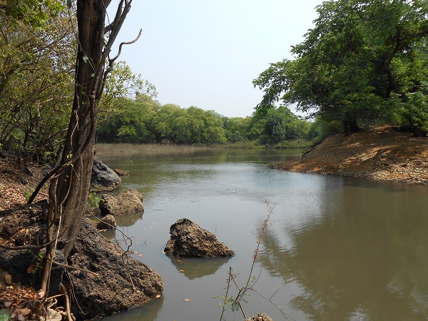
All the permanent or temporary streams of the North region’s protected areas belong to the Chari watershed (hence to Lake Chad) with 3 main tributaries: Aouk, Bamingui and Gribingui. The North region’s rivers have extreme variations of flows between their flooding (in September-October) and low water phases (March-April).
The quantity of water available depends mainly on the rainfall, as well as on the nature of the soil and the topography influencing the water drainage.
The northern region is in the Soudano-Guinean climate zone and its average annual rainfall varies between 800 mm and 1,300 mm.